
School Zone Finder
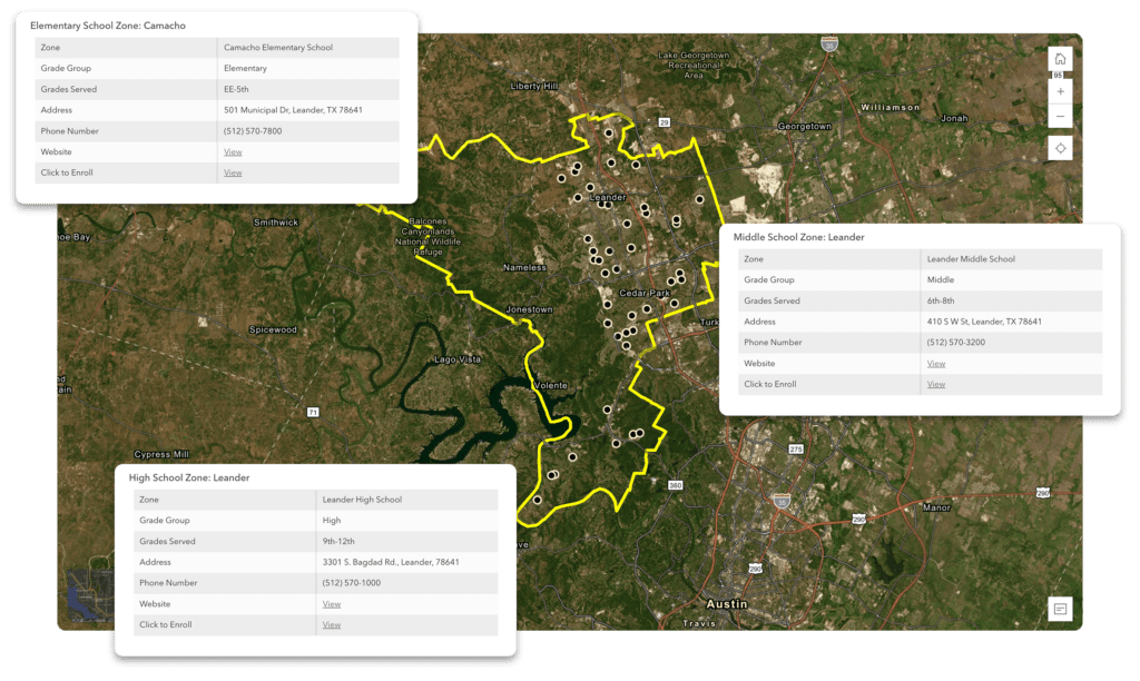
Leander ISD attendance zones outline where children in a particular neighborhood will attend elementary, middle, or high school. Follow the link above to launch the interactive school and attendance zone look-up tool, where you can enter your home address or use your current location, to see up-to-date information on what schools you are zoned for.
Any attendance zoning process needs to meet the parameters of the Long-Range Plan:
- Strengthen the student experience
- Establish long-term stability
- Access to choice options
- Honor neighborhood school concept for schools where we are still able to meet the intent of the Long-Range Plan
- Prioritize fiscal responsibility
- Maximize usage of district facilities
- Strategic rezoning
- Modified Utilization
- Defer timing of future construction
- Maximize usage of district facilities
Attendance Zone Maps
Year to year, there are changes in the attendance zones once approved by the LISD Board of Trustees. Please refer to the Street Directory Listing to see which school your student is zoned to attend. The approved attendance zone maps are listed below.
2024-25 Maps
This product is for informational purposes and may not have been prepared for or be suitable for legal, engineering, or surveying purposes. It does not represent an on-the-ground survey and represents only the approximate relative location of property boundaries.